Drone photo and video, built around your property
FAA-certified aerial work across Connecticut and New Hampshire. Real estate and golf courses are what I shoot most. Pick a service below to see examples, pricing, and how to book. Everything starts at $49.
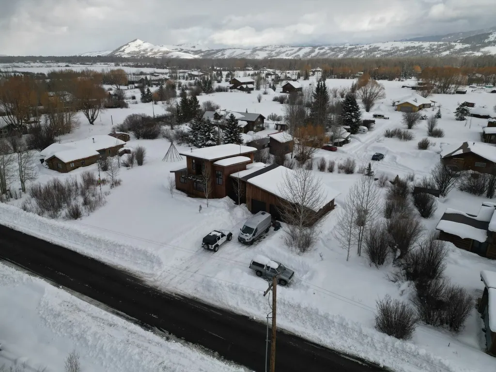
Real Estate Drone Photography
From $49MLS-ready stills and a listing video that make a property look like the best one in the feed. Built for agents. Most of my real estate drone photography in Connecticut happens in Fairfield County — New Canaan, Darien, Westport — but I'll cover a listing anywhere in the state. Shot, edited, and back to you within 48 hours.
View this service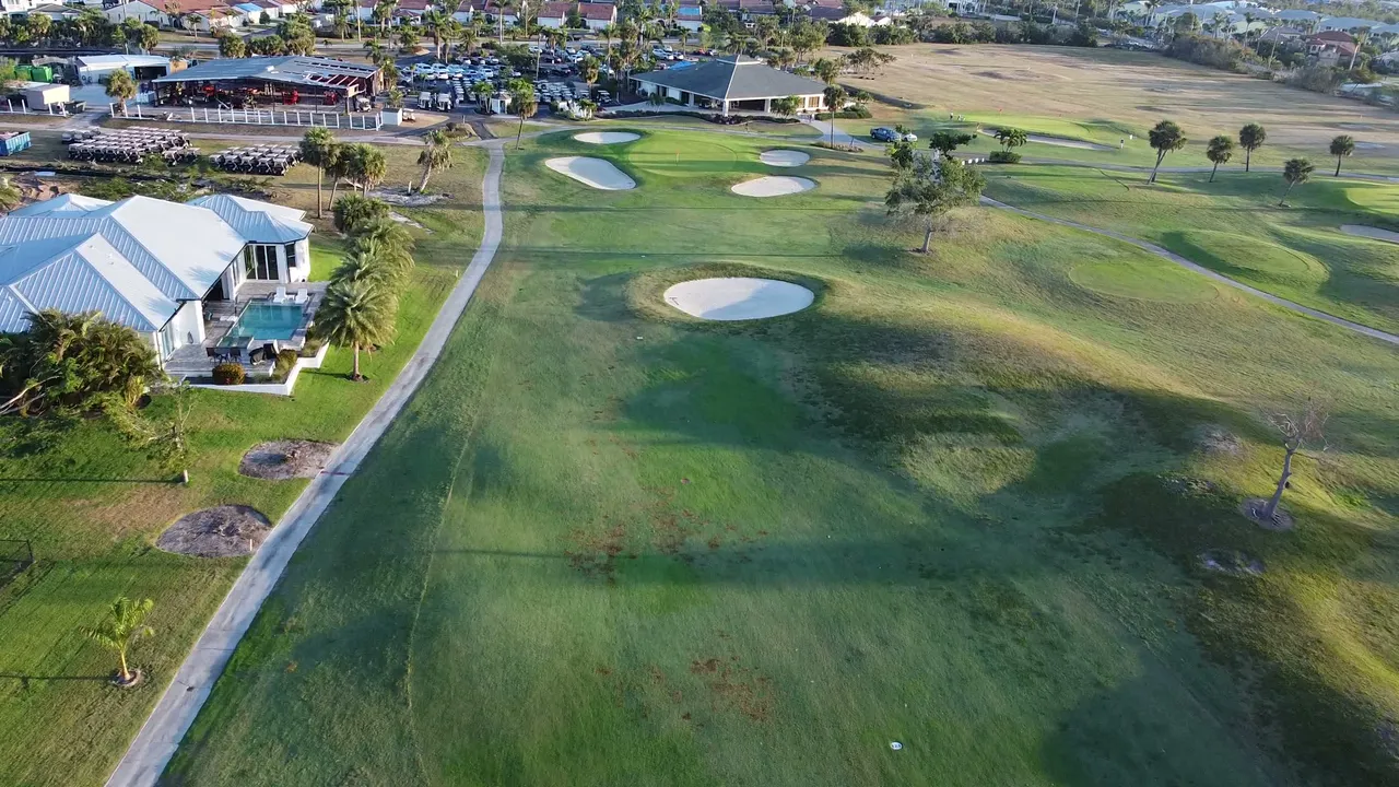
Golf Course Drone Photography
From $49Course flyovers, hole-by-hole footage, and social-ready reels for member recruiting and event marketing. Golf courses are some of my favorite flying — fairways, bunkers, and water hazards read beautifully from the air, especially at first light. I work around tee times so nobody's round gets interrupted.
View this service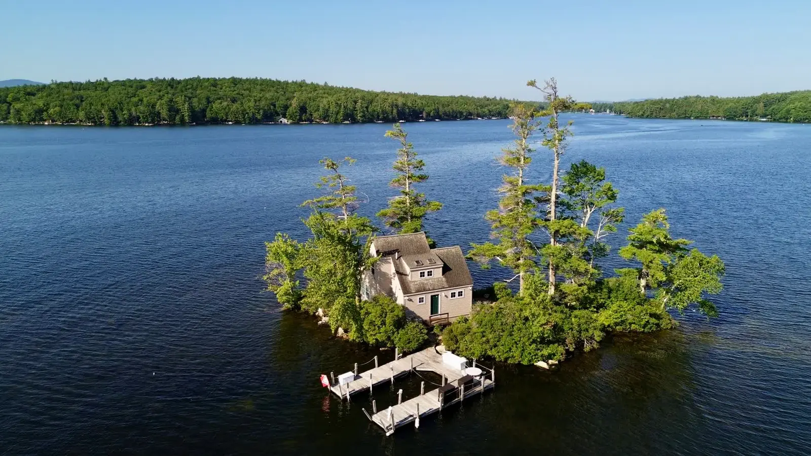
Lakefront Property Photography
From $49Shoreline, dock, and water views shot the way buyers actually want to see them. I spend half the season in Moultonborough, so Lake Winnipesaukee drone photography — docks, coves, sunset water lines — is a specialty. If your property touches water in New Hampshire or Connecticut, I can show it from angles a ground camera can't reach.
View this service
Drone Roof Inspections
From $49Close, detailed roof imagery with nobody on a ladder. Good for claims, solar quotes, and buying decisions. A roof inspection drone flight in Connecticut usually takes me under an hour on site, and you get sharp images of every slope, valley, and flashing detail. Homeowners use them for storm damage and insurance claims; inspectors and solar installers use them to quote without climbing.
View this service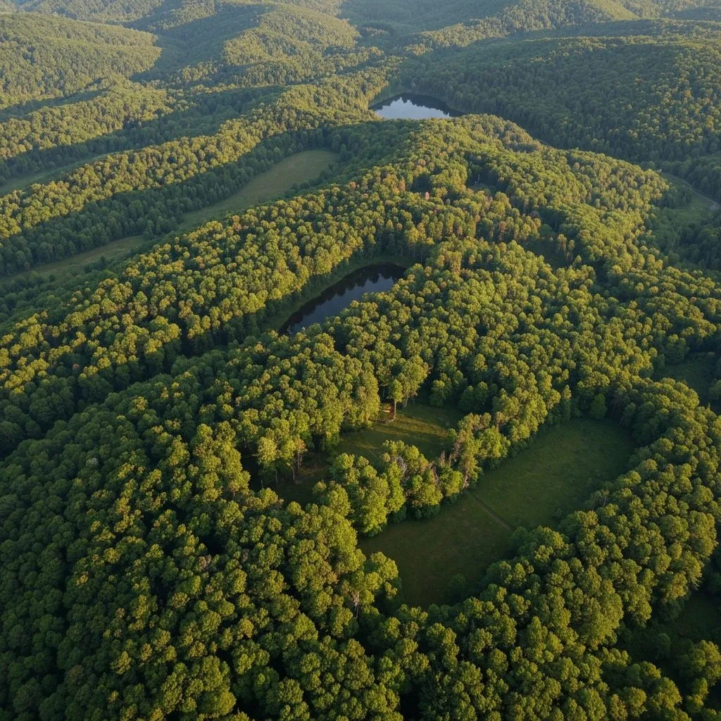
Drone Land Survey & Forestry
From $49Aerial documentation for land trusts and landowners: boundaries, canopy, wetlands, and before/after records. A drone land survey covers ground in minutes that would take a full day to walk, and I can refly the same route next season for a clean comparison. I've mapped wooded parcels, ponds, and trail networks across Connecticut.
View this service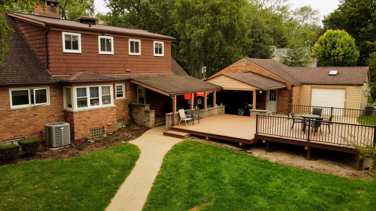
Construction Progress Photography
From $49Repeatable progress flights from the same positions for lender reports and project records. Construction progress photography works best on a schedule — same GPS positions, same angles, every two weeks or every month. Builders use the sets for lender draws, marketing, and settling questions about what was done when.
View this serviceCommon questions
How much do drone services cost?
Pricing starts at $49 across every service. A real estate listing shoot, a golf course flyover, a roof inspection, a lakefront video, they all start at the same easy entry point. Bigger jobs are quoted up front so there are no surprises.
Are you FAA certified?
Yes. Overstory Drones is FAA Part 107 certified, which is required for all commercial drone operations in the United States, and carries $1,000,000 in liability insurance on every flight.
How quickly do you deliver?
Most projects are edited and delivered within 48 hours of the flight, in formats ready for MLS, a website, or social media.
What areas do you serve?
Based in New Canaan, CT and Moultonborough, NH. I cover Fairfield County and all of Connecticut, plus the Lake Winnipesaukee area of New Hampshire.