Why CT listings need aerial photos
In Fairfield County's competitive market, buyers research listings online before they ever schedule a showing. Aerial photos are often the difference between a listing that gets clicks and one that gets skipped.
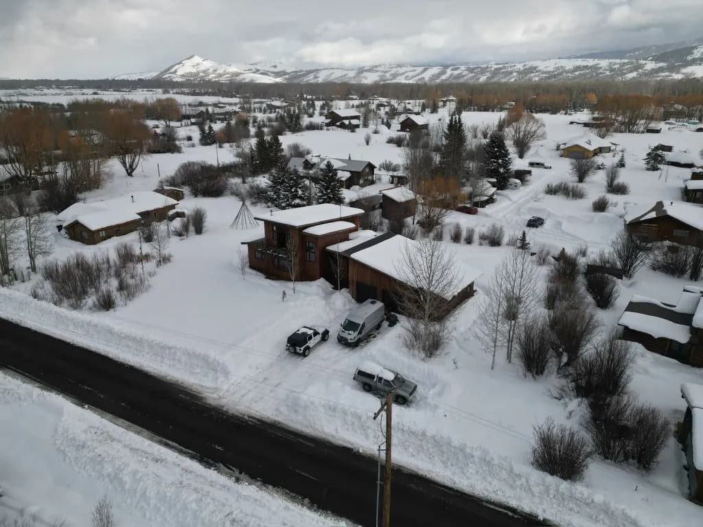
Ground photos can't show lot size, water proximity, neighborhood context, or how private a property really is. Drone photography communicates all of that immediately, and buyers notice.
Listings with aerial photography consistently see more inquiries, more showings, and faster offers. For properties with acreage, water views, or distinctive settings, aerial documentation isn't optional, it's the only way to properly represent the property.
What's Included, From $49
Properties that benefit most
Waterfront & Coastal
Long Island Sound, rivers, lakes, water proximity is the listing's #1 feature and needs to be shown from above.
Large Lots & Acreage
When the land is the value, aerial photos are the only way to show it. Ground photos can't communicate 3+ acres.
Architectural Homes
Mid-century moderns, custom contemporaries, and distinctive homes read completely differently from above.
Rural & Farm Properties
Barns, outbuildings, agricultural land, and rural context all photograph dramatically well from drone altitude.
New Construction
Show the finished product in the context of the neighborhood and lot before the landscaping grows in.
Luxury Listings
Any property where buyers expect elevated marketing, aerial photography raises the presentation quality of the entire listing package.