Who I Work With
Real estate agents, contractors, and landowners across Connecticut. Aerial work delivered in 48 hours, FAA Part 107 certified, $1M insured.
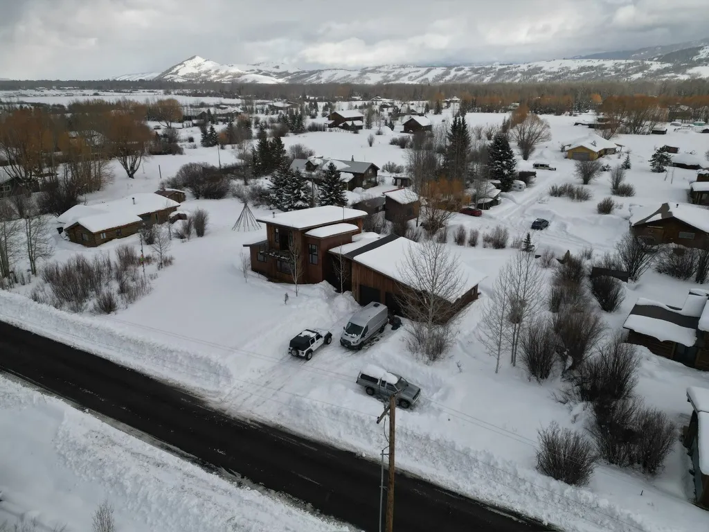
Real Estate Agents & Sellers
I shoot a lot of CT listings. Aerial photos show lot size, water proximity, and neighborhood context the way ground shots cannot, and the listings I work on tend to move faster because of it.
• Aerial listing photography for MLS
• Lot size & boundary documentation
• Commercial & multi-family property imaging
• Land listings & vacant lot surveys
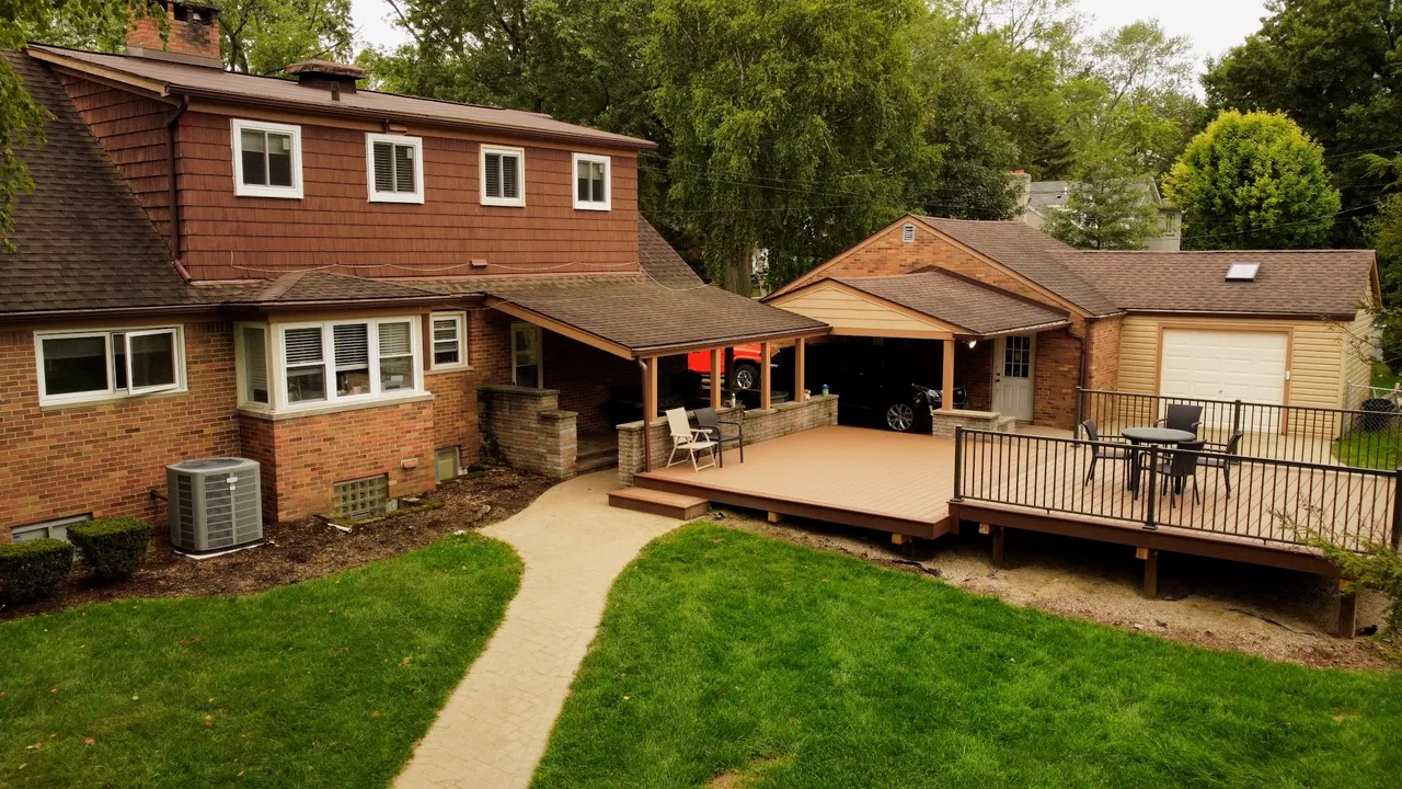
Construction & Contractors
I fly construction sites on a schedule so contractors have a clean visual record for lenders, owners, and their own files. Same GPS positions every visit, so any two flights line up for a direct before and after.
• Weekly or monthly construction progress flights
• Before & after site documentation
• Lender & owner progress reporting
• Roof & structural condition records
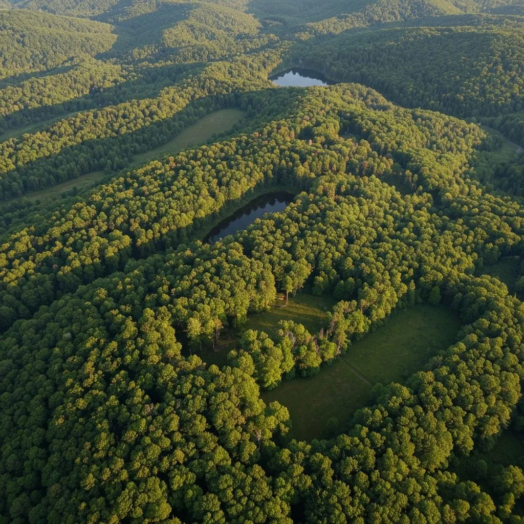
Forestry & Land Management
For landowners, timber operators, and land trusts, a single flight covers hundreds of acres in an afternoon. I deliver aerial mapping, canopy assessment, and boundary documentation that would take days to gather on foot.
• Aerial land mapping & parcel documentation
• Forest inventory & timber assessment
• Wetland & conservation monitoring
• Pre- and post-harvest aerial surveys